
Field Estuary
Directions
Parking lot and trailhead are on the right 0.2 mile from the start of Wolfe’s Neck Road. The trail forks after a little ways into two out and back trails; either way it is about 0.8 miles from the trailhead to the end. Both the Over the Hills Trail and the Bear Caves Trail have a fair amount of up and down. Highlights are the dramatic terrain in the woods and marsh views at the end of both trails.
Address: 60 Wolfe’s Neck Road, Freeport, ME, 04032

The trail has a fair amount of steep terrain and is not accessible for everyone. Starting off across the edge of a field, the trail continues to a brook, crosses it and climbs through some spindly pines in an old woods road. The trail then descends to a lovely marsh view and this may be far enough for some people. However the trail continues on up another hill through tall hemlock trees and follows an existing trail down to the river again, further south. It is about 0.6 miles each way.
About the trail
Field Estuary preserve includes valuable saltmarsh

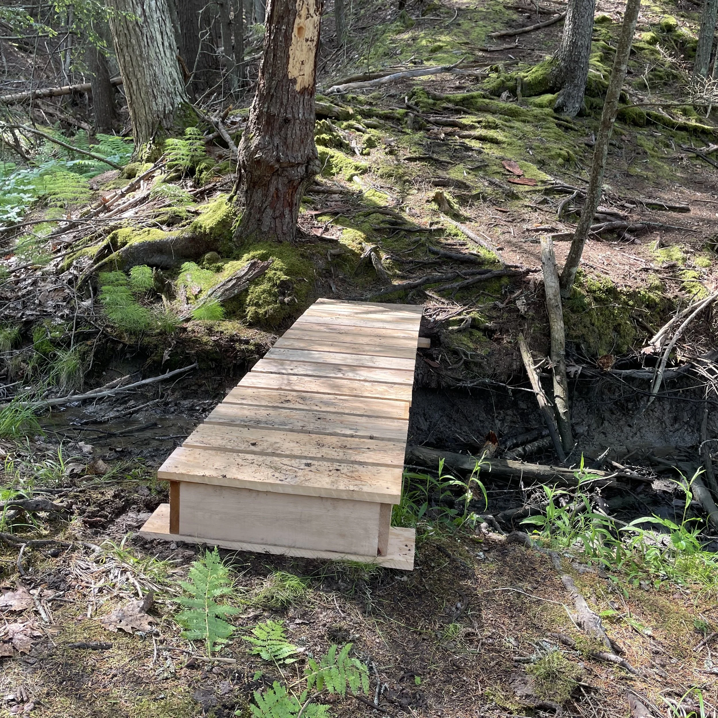
June 2024 Trail Crew
The Field Estuary preserve includes some lovely and valuable saltmarsh along the upper reaches of the Harraseeket estuary. This Spartina Saltmarsh, a rare natural community type in Maine, has important ecological functions and has been used in a number of ways by people over the years.
In the 20th century, salt marshes were often changed or eliminated by coastal development and related discharges. Over the most recent 50 years, people have come to realize the value of salt marshes as complex and unique systems and taken steps to preserve them through public policy and education.
In August 2015, ecologists from the Maine Natural Areas Program visited Field Estuary and noted the marsh as dominated by saltmarsh hay (Spartina patens), with patches of black rush and abundant seaside goldenrod. Smooth cordgrass (Spartina alterniflora) occurs in areas with more frequent tidal flooding, along the bank of the river. Other herbaceous species within the open marsh include sea milkwort, sea lavender, and seaside plantain.
“Donating the pristine estuary and river frontage to FCT was a perfect solution, as they will manage and preserve it forever”
— Joe Field