
Calderwood
Directions
Calderwood trails are on both sides of Flying Point Road near the Brunswick town line. A four car gravel parking lot with one accessible parking spot is located at 236 Flying Point Road.


Calderwood Trails
Coastal Improved Access Trail:
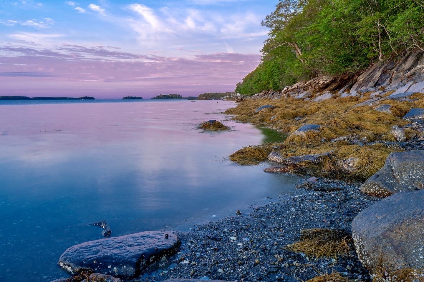
We recently upgraded a 0.32-mile improved access trail on the coastal side of Calderwood from our new parking area, made possible through the generosity of our donors. The trail was designed to make the outdoors easier to access for a wide range of users- including people who benefit from a level surface, have visual impairments, cognitive disabilities, or are young children or older adults.
The upgraded coastal trail offers a 5-to-6-foot-wide packed stone surface built with minimal slopes and a smooth obstacle-free path providing gorgeous views of Maquoit Bay. Along the way visitors will find comfortable rest stops, a wide bridge with handrails, and a picnic table with an extended surface for wheelchair access.
Inland Trail:
The Calderwood property includes a 1.2-mile loop trail on the western side of the road. From the rear of Calderwood there is a connection west via Moose Crossing Trail to Litchfield Road and north to Brunswick Topsham Land Trust’s Chase Reserve. This trail is narrow, comprised of uneven surfaces that contain roots and large to medium-sized rocks and does include some bog bridges.